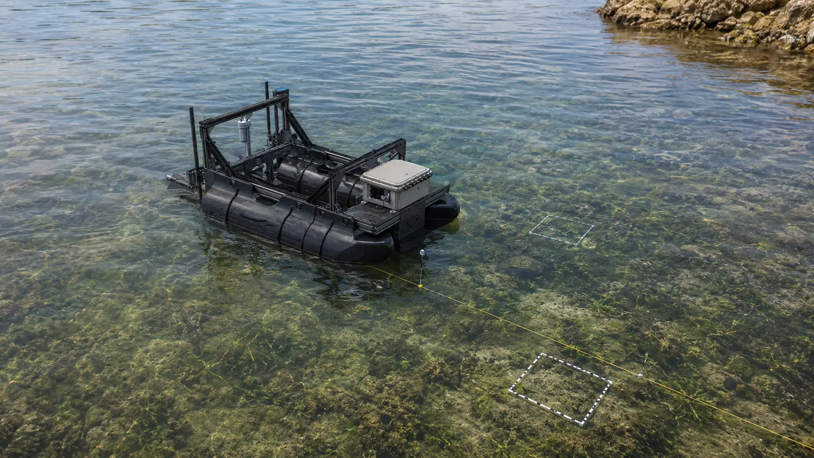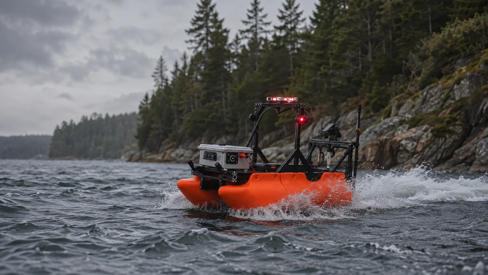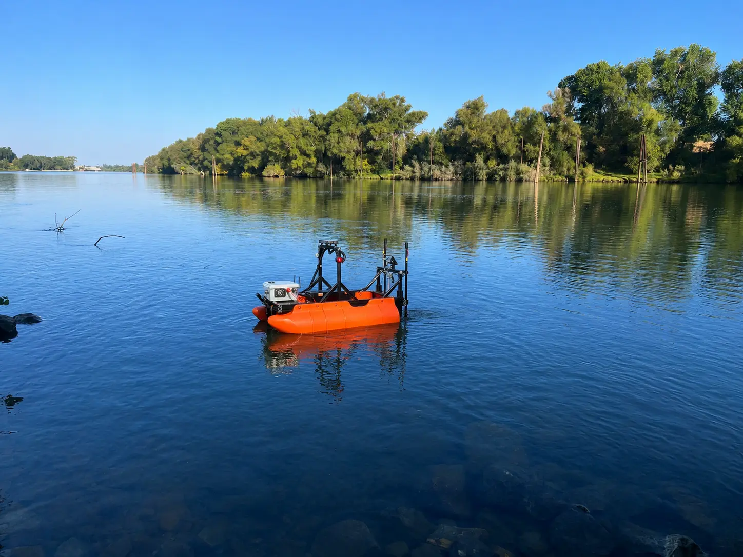
Sequoia Advanced Systems deploys mission-configurable autonomous surface vessels for repeatable water quality monitoring across California lakes, reservoirs, canals, ponds, and managed waterways.
Geolocated sensor readings collected along planned routes reveal conditions across the waterbody, not only at isolated sampling points. Public agencies, environmental consultants, utilities, laboratories, and watershed programs can map water-quality gradients, track harmful algal blooms, compare conditions over time, and document change while reducing repetitive crewed-boat operations.
Our systems expand the reach of qualified scientists and field teams. Sensor selection, calibration, laboratory analysis, data validation, and environmental interpretation remain with the professionals responsible for the monitoring program.
Water quality changes across space, depth, season, and weather. A single sample may accurately describe one location at one moment while missing the broader conditions developing across the waterbody.
Effective monitoring establishes where conditions are changing, how quickly they are changing, and whether those changes threaten public use, operational reliability, sensitive habitat, or regulatory objectives.
Reservoir and source-water operators monitor temperature, dissolved oxygen, turbidity, conductivity, pH, algae indicators, and other parameters that affect treatment operations, taste and odor, intake performance, and public-health response.
Spatial monitoring helps identify where a condition is concentrated and whether it is moving toward an intake, recreational area, or sensitive shoreline.
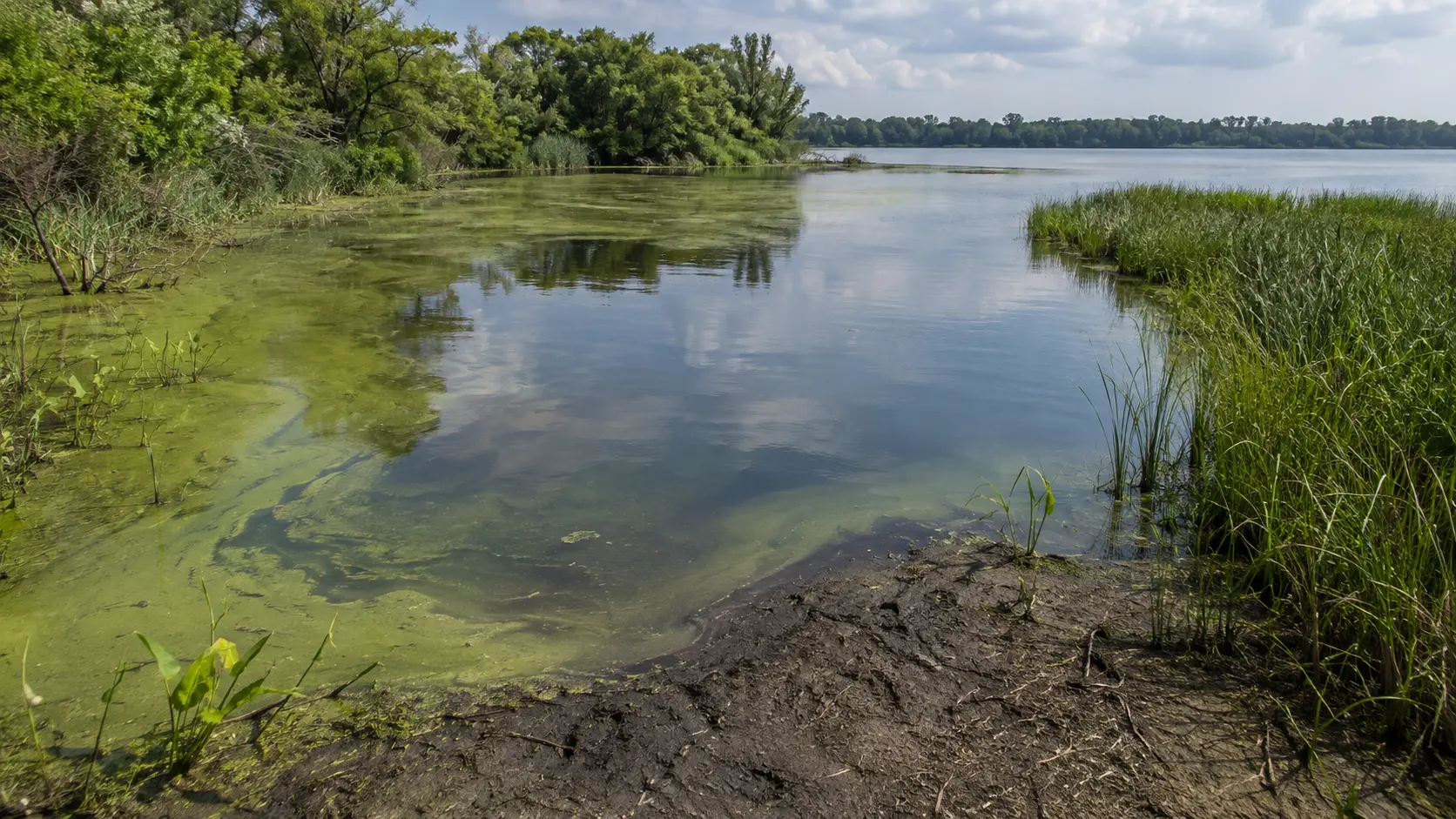
Cyanobacteria blooms can develop unevenly across a lake or reservoir. Wind, temperature, nutrients, inflows, depth, and circulation may concentrate bloom material in areas that fixed stations or shoreline observations do not represent.
Repeatable sensor transects help map bloom extent, identify changing concentrations, and guide confirmatory sampling, advisories, and response planning.
Watershed decisions depend on understanding sources, gradients, and trends. Repeatable monitoring can document how tributaries mix, how water quality changes downstream, and whether restoration, treatment, or operational changes are producing measurable results.
Monitoring near wetlands, restoration areas, spawning habitat, and sensitive aquatic communities helps field teams identify changing conditions before they become more difficult to manage.
Better spatial information supports targeted action while reducing unnecessary disturbance and protecting habitat areas that require careful stewardship.
Consistent routes and geolocated measurements create comparable records across seasons and years. That continuity strengthens trend analysis, program evaluation, public reporting, and long-term waterbody management.
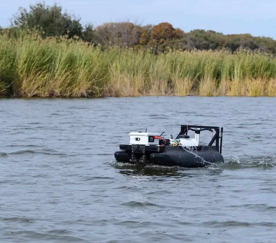
Autonomous surface vessels are effective where monitoring benefits from spatial density, route consistency, geolocation, and repeat visits.
A configurable sensor suite can log readings continuously along planned routes. Each measurement is tied to position and time, producing a mapped view of water conditions rather than a short list of isolated stations.
GPS-defined routes can be run consistently across visits. Repeating the same transect improves comparison among seasons, operational conditions, treatment cycles, and restoration stages.
Chlorophyll and phycocyanin sensors can help identify the spatial pattern of algae and cyanobacteria indicators. The resulting maps can guide confirmatory sampling and help teams prioritize areas for closer evaluation.
Sensor readings are indicators, not species confirmation or toxin analysis. Laboratory methods remain necessary where the monitoring objective requires them.
Field teams can plan and supervise the mission from shore, reducing repetitive crewed-boat operation and exposure to heat, weather, unstable vessels, or difficult launch conditions.
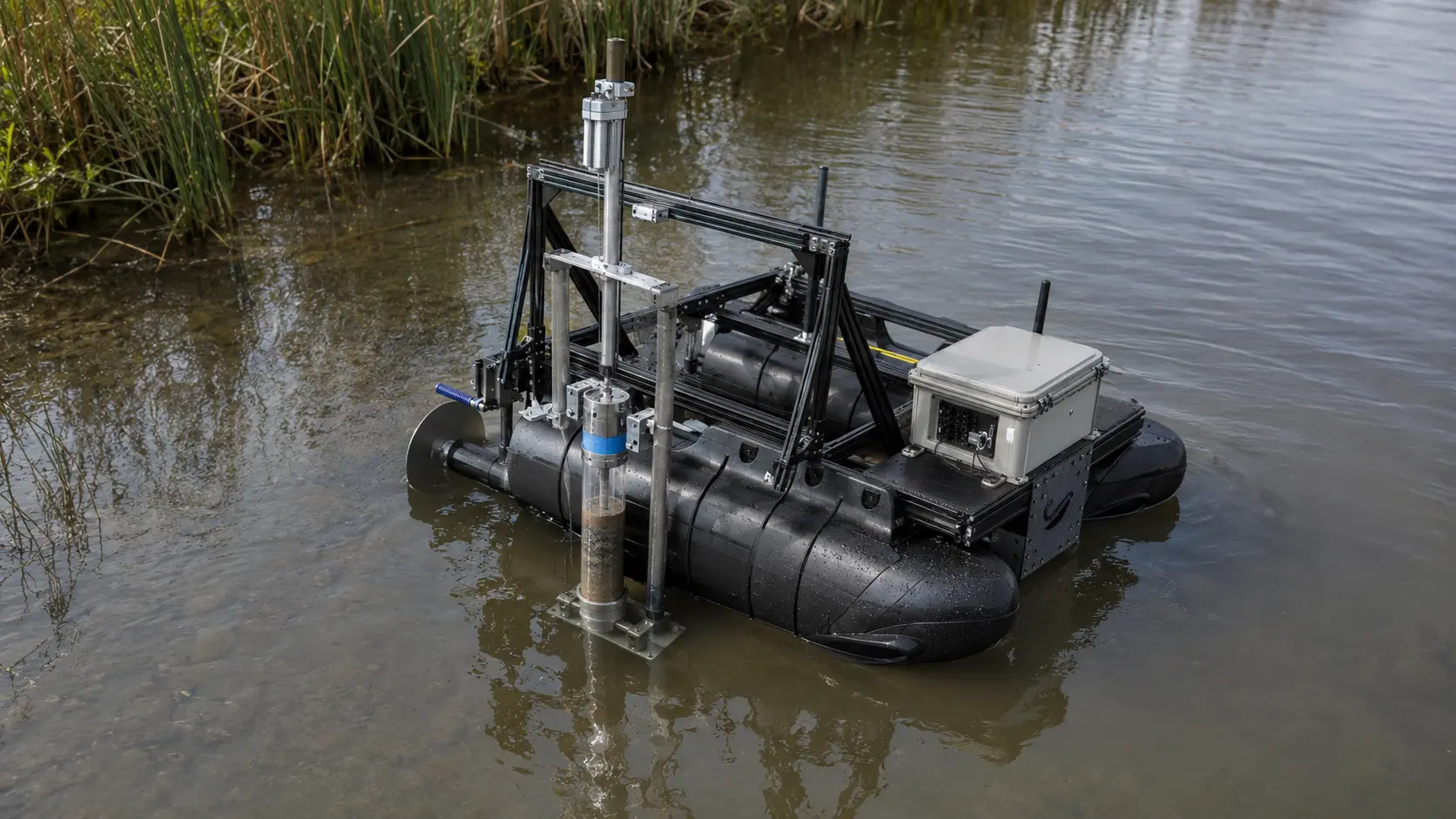
Low-draft, shore-launchable vessels can monitor reservoir edges, canals, ponds, narrow waterways, and other areas that are difficult to reach with a conventional survey boat.
Routes, sensor readings, timestamps, field notes, and mission records can be captured as the work occurs. This creates a stronger foundation for regulatory reporting, trend analysis, and quality assurance.
Depending on the mission, systems may support:
The platform improves coverage and repeatability. The monitoring plan determines whether the data is scientifically and operationally fit for its intended use.
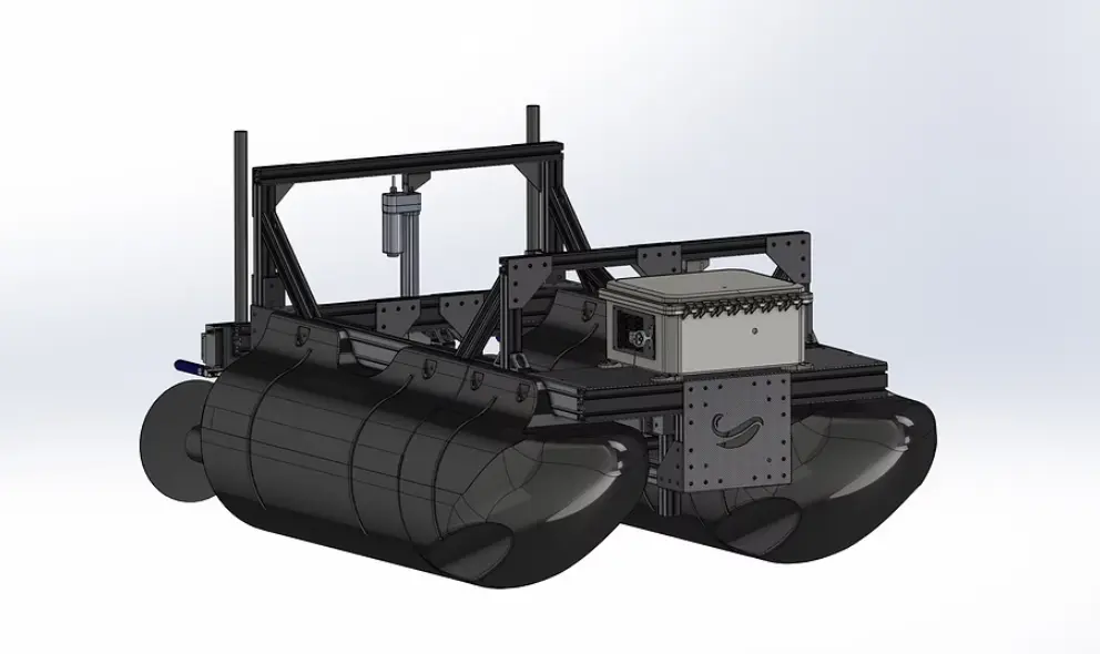
Sequoia Advanced Systems configures Riparian Systems platforms around the monitoring objective, operating environment, required sensor suite, and field deliverable. Argus 1.0 and Guardian 1.0 can support different monitoring missions within the same applied-autonomy framework.
Well suited to planned transects, broad spatial mapping, repeat surveys, and missions that depend on consistent line-following.
Sensor-configured for targeted monitoring, rapid reconnaissance, low-light operations, and missions that benefit from enhanced visual awareness, lighting, or close-in observation.
Sensor availability and configuration depend on the mission. Data accuracy depends on sensor selection, calibration, maintenance, sampling design, operating conditions, and quality-control procedures.
Discuss a Monitoring ProgramAutonomous platforms do not need to replace fixed stations, laboratories, or field scientists to improve a monitoring program. Their strongest role is often to connect those resources and fill the spatial gaps between them.
A buoy explains what is happening at one location over time. A mobile autonomous platform shows how those conditions vary across the waterbody. Used together, they provide temporal continuity and spatial context.
Sensor maps can identify gradients, anomalies, bloom concentrations, inflow effects, or low-oxygen areas. Field teams can then place grab samples where laboratory confirmation will provide the greatest value.
Laboratory analysis remains essential for regulated constituents, toxins, species confirmation, and accredited reporting. Autonomous reconnaissance helps direct that higher-cost analysis toward the locations most likely to answer the management question.
Repeatable sensor routes can help define bloom extent, compare conditions across days, and identify where confirmatory samples or public advisories may be required.
Monitoring before and after aquatic treatment can document baseline conditions, support treatment planning, and show how the waterbody responds over time.
Repeatable environmental routes can track conditions near restoration areas, wetlands, sensitive habitat, and managed shorelines while reducing unnecessary field disturbance.
Environmental consultants and laboratories can add spatial monitoring without creating an internal robotics program. SEQAV can provide the platform, sensor configuration, training, deployment support, and technical backing. The environmental professional remains responsible for study design, interpretation, and reporting.
Add geolocated sensor mapping, repeatable transects, and broader spatial coverage to existing monitoring programs. Use autonomous reconnaissance to guide laboratory sampling, strengthen reports, and expand field capacity under your own client relationship.
Monitor source-water conditions, canals, ponds, reservoirs, and operational waterways with repeatable routes and documented measurements. Spatial data helps identify emerging conditions before they affect intakes, conveyance, or treatment operations.
Map temperature, dissolved oxygen, turbidity, algae indicators, and other parameters across the reservoir. Identify gradients, track bloom movement, protect sensitive habitat, and support decisions affecting intakes and treatment processes.
Build comparable environmental datasets across tributaries, channels, reservoirs, and managed waterbodies. Repeatable monitoring supports trend analysis, impaired-water studies, restoration evaluation, and long-term watershed planning.
Monitor recreational lakes and ponds for bloom indicators, changing water quality, and conditions that may affect advisories or public access. Geolocated routes provide a more complete operating picture than shoreline observations alone.
Track water conditions around wetlands, restoration sites, sensitive aquatic communities, and habitat enhancement projects. Repeatable measurements help document change while supporting responsible environmental stewardship.
Water quality monitoring is an established scientific discipline. Effective programs commonly combine several methods.
Physical samples are collected at defined locations and analyzed for constituents that require laboratory methods, accredited reporting, toxin analysis, microbiology, nutrients, metals, or species confirmation.
Field teams use multiparameter sondes to measure water conditions at stations or through the water column. These measurements provide immediate field information but require personnel to move between locations.
Moored systems provide continuous measurements at one location. They are valuable for identifying daily cycles, rapid changes, and long-term temporal trends.
Boats carry sensors or sampling crews across the waterbody. These missions can provide spatial coverage but require mobilization, launch access, operators, and consistent navigation.
Aerial and satellite imagery can reveal surface conditions, vegetation, color changes, and broader bloom patterns. Remote sensing may not resolve subsurface conditions or provide direct measurements of all parameters.
Field teams may assess organisms, habitat, sediment, substrate, and biological response through visual observations, sampling, sonar, or dedicated biological methods.
Autonomous surface vessels occupy the space between fixed monitoring and labor-intensive crewed transects. They provide repeatable spatial coverage while remaining part of a broader scientific monitoring program.
Define the decision the data must support. Monitoring design should follow the question, whether the objective is bloom reconnaissance, source-water protection, trend analysis, restoration evaluation, or regulatory reporting.
Each sensor measures a specific physical, chemical, optical, or biological response. Select the instrument, range, resolution, and sampling interval around the intended use.
Sensor calibration, drift checks, cleaning, reference standards, and confirmatory samples belong in the monitoring plan from the beginning.
Routes, depths, sampling intervals, operating conditions, and revisit schedules should be consistent enough to support meaningful comparison.
Record position, time, sensor configuration, calibration status, field conditions, mission route, anomalies, and operator observations as the work occurs.
Autonomy improves coverage, consistency, and field access. Environmental scientists, laboratory professionals, water-resource specialists, and program managers determine what the data means and whether it is fit for the intended decision.
It is the systematic measurement of the physical, chemical, and biological condition of a waterbody across space and time. Monitoring supports source-water protection, regulatory programs, harmful algal bloom response, watershed management, habitat protection, and operational decisions.
Depending on the configured sensors, a platform may measure dissolved oxygen, temperature, pH, specific conductance, turbidity, chlorophyll, phycocyanin, and other compatible parameters. The final configuration should be selected around the monitoring objective and required data quality.
The platform logs sensor readings continuously along planned routes. Each measurement is tied to position and time, allowing the data to be mapped across the waterbody. This can reveal bloom concentrations, inflow effects, mixing zones, temperature differences, turbidity plumes, and other spatial patterns.
Chlorophyll and phycocyanin sensors can provide indicators of algae and cyanobacteria distribution. Repeatable transects help define where bloom conditions are concentrated and how they change. Laboratory analysis may still be required for toxin measurement, species confirmation, or regulatory decisions.
No. In-situ sensors provide dense, rapid, spatial information. Laboratory analysis provides the constituent-specific, toxin, microbiological, or accredited results that some programs require. The strongest programs use each method for the question it is best equipped to answer.
A buoy measures one location continuously. An autonomous platform measures across a route or waterbody. The buoy provides strong temporal resolution; the autonomous vessel provides spatial resolution. They are complementary.
Yes. Planned GPS routes can be stored and repeated during later visits, improving comparability across seasons, treatment cycles, operational conditions, and restoration phases.
Compatible sampling payloads may be possible depending on the platform, sample requirements, depth, preservation needs, and chain-of-custody procedures. The mission must be configured around the sampling protocol.
It can support benthic and habitat investigations through geolocated routes, imaging, sonar, depth context, and compatible environmental sensors. Physical sediment or biological sampling may still require specialized equipment and field methods.
Sensor readings, GPS position, timestamps, mission routes, calibration information, and field observations can be recorded as part of the mission. Deliverables may include raw data, processed datasets, transect profiles, maps, and repeat-visit comparisons.
Yes. SEQAV can provide the platform, sensor integration, mission-planning support, operator training, field deployment, and long-term technical support while the consultant or laboratory retains the client relationship and responsibility for scientific interpretation.
Useful information includes the waterbody, monitoring objective, target parameters, existing stations, sampling protocol, required deliverables, operating area, revisit frequency, access conditions, timeline, and whether laboratory confirmation is required.
Tell us what you need to measure, where conditions are changing, how often the site must be monitored, and what decisions the data must support. Sequoia Advanced Systems will help define the sensor configuration, field route, operating model, and next step.
Discuss a Monitoring Program