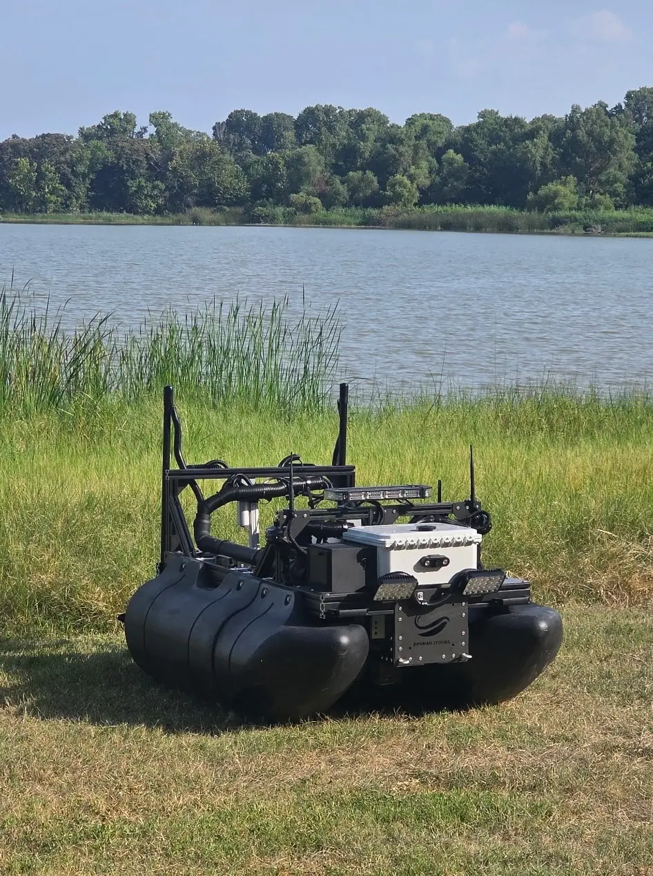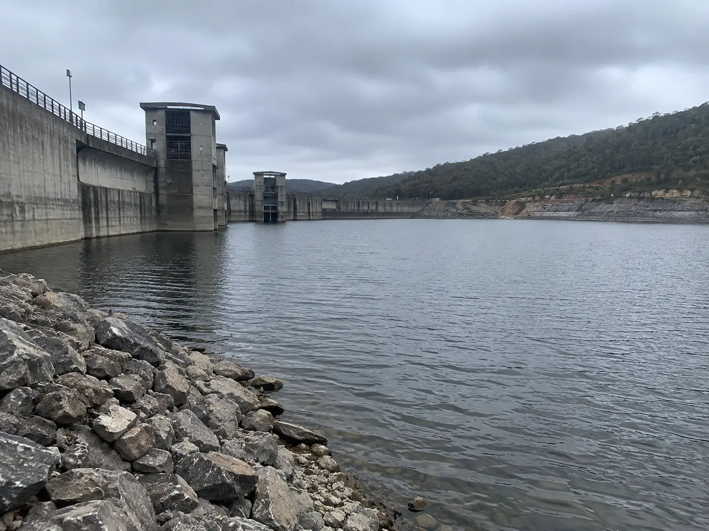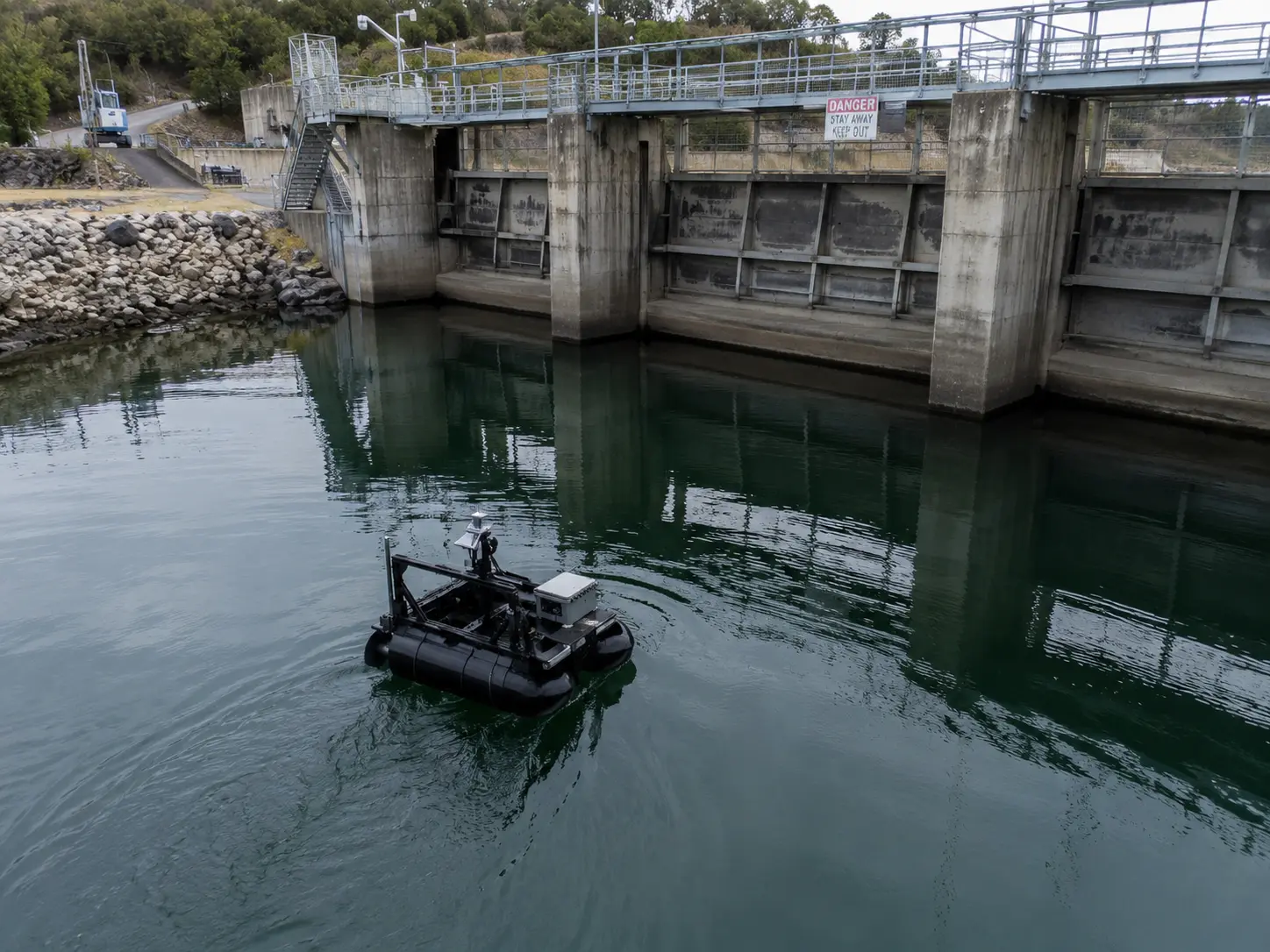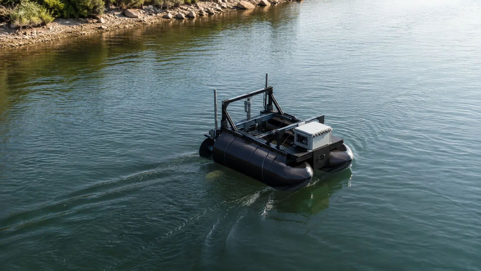
Sequoia Advanced Systems deploys mission-configurable autonomous surface vessels for non-contact inspection, condition screening, and pre-dive reconnaissance around California water infrastructure.
Sonar, localized bathymetric data, cameras, lighting, and repeatable GPS routes help asset owners and engineering teams document submerged conditions around dams, intakes, outfalls, culverts, levees, bridge structures, canals, and other difficult-to-access assets.
The platform improves access, consistency, and situational awareness without placing personnel in the water during the initial inspection phase. Structural assessment, engineering conclusions, close-contact inspection, repair, and certification remain with qualified engineers, divers, ROV operators, and asset professionals.
Much of the infrastructure that controls, conveys, stores, and protects water cannot be evaluated from the shoreline.
Submerged and near-water assets are exposed to current, sediment, debris, corrosion, erosion, biological growth, impact, seasonal water-level change, and major events. Conditions can develop below the surface long before they become visible from land.
Dams, spillways, levees, intakes, outfalls, bridge piers, culverts, seawalls, canal structures, and other submerged assets require periodic evaluation. Identifying change early supports safer operations and more deliberate maintenance planning.
Moving water can remove material around foundations, bridge piers, abutments, riprap, and hydraulic structures. Repeatable sonar and localized depth measurements help teams identify areas that warrant engineering review or closer inspection.
Sediment, debris, vegetation, and foreign objects can reduce intake performance, obstruct culverts, affect gates, and change flow around structures.
Floods, storms, debris events, seismic activity, and emergency operations may change bed conditions or damage assets. Rapid reconnaissance helps owners determine where specialized inspection resources should be directed.
Condition records support maintenance priorities, rehabilitation scopes, contractor mobilization, and long-term asset management. Repeatable inspection is more valuable than a series of unrelated snapshots.
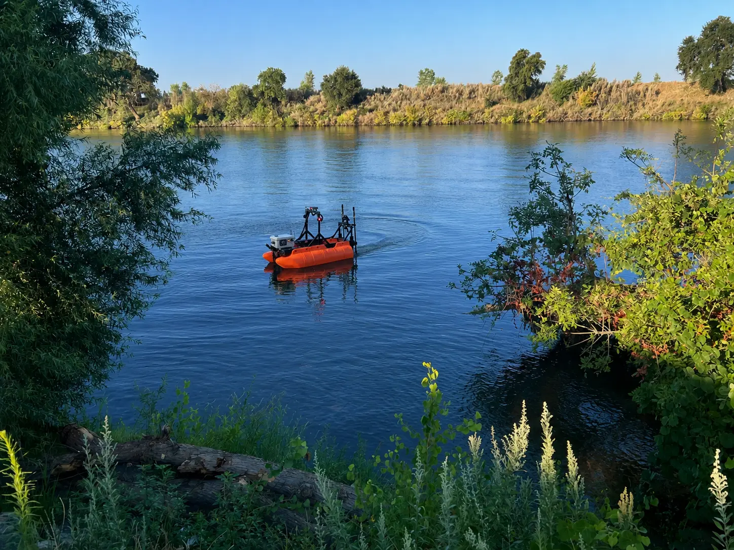
Autonomous surface vessels are particularly useful for repeatable, non-contact inspection and reconnaissance from above the water column.
Sonar can image the bed, submerged structures, obstructions, sediment accumulation, and changes near an asset. The data helps identify areas requiring closer review.
A surface vessel can map the site, locate potential hazards, identify targets, and document access conditions before a diver or ROV enters the water. This allows specialized resources to focus on defined areas rather than broad searching.
GPS-defined routes can be repeated along intakes, culverts, piers, walls, riprap, or other assets. Comparable passes strengthen change detection and inspection history.
Sonar and depth measurements near structures can identify localized bed changes, scour depressions, sediment accumulation, and obstructions. Broad bathymetric surveys, reservoir capacity studies, and sediment-volume work remain within the Hydrographic Surveying application.
Surface and underwater cameras, where configured, can document visible conditions, waterline features, near-surface components, and areas illuminated for close-in reconnaissance.
Operators can supervise missions from land, reducing exposure and avoiding unnecessary crewed-boat operation near hazardous assets.
Sonar returns, images, target locations, routes, and field observations can be connected to position and time. This creates a consistent record for asset-management systems and future comparison.
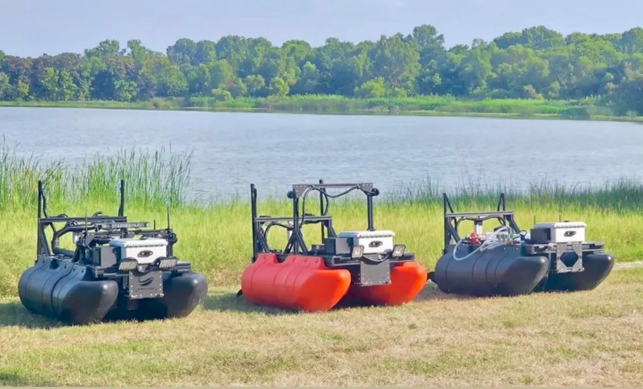
Sequoia Advanced Systems selects and configures the platform according to the asset, required standoff distance, operating environment, sensor package, and inspection objective. Argus 1.0 and Guardian 1.0 cover complementary inspection missions within the same applied-autonomy framework.
Well suited to repeatable sonar passes, localized bathymetric context, scour monitoring, sediment mapping near assets, and structured inspection routes.
Well suited to missions requiring enhanced visual awareness, lighting, target localization, close-in reconnaissance, and pre-dive or pre-ROV support.
Platform data supports screening, reconnaissance, and inspection planning. Qualified engineers and asset professionals remain responsible for determining structural condition, required corrective action, and whether a formal inspection standard has been satisfied.
Discuss an Inspection MissionAutonomous surface vessels do not replace divers, ROVs, crewed survey boats, or engineers. They improve how those resources are targeted, prepared, and documented.
A sonar and imaging pass can identify areas of concern before dive operations begin. Divers can then focus limited bottom time on confirmation, measurement, close-contact inspection, or repair.
Target coordinates, site maps, depth context, and identified anomalies help ROV operators plan tether routes and reduce unnecessary underwater searching.
Crewed vessels may remain the right tool for large sites, multibeam surveys, towed systems, or projects requiring specialists aboard. Autonomous vessels can extend coverage into shallow margins, narrow channels, near-structure zones, and sites without ramps.
Repeatable routes create a consistent foundation for comparing conditions across annual, seasonal, or post-event inspections.
A surface platform can document accessible submerged areas, local bed conditions, riprap, obstructions, and areas requiring closer engineering review. Formal dam-safety and levee assessments remain with qualified professionals and applicable regulatory programs.
Reconnaissance can identify depth, access, submerged obstructions, sediment, and target locations before divers, barges, repair crews, or underwater construction equipment mobilize.
After floods, storms, debris events, or changes in operations, autonomous reconnaissance can help identify where conditions have changed and where specialized inspection should begin.
Repeated sonar, imagery, routes, and observations create a location-based history that can support maintenance planning and asset-management systems.
Add autonomous sonar, repeatable inspection routes, pre-dive reconnaissance, and geolocated documentation to existing engineering and water-resource services. SEQAV supports the platform while the consultant retains professional responsibility and the client relationship.
Inspect intakes, outfalls, canals, culverts, gates, and other submerged assets without mobilizing a dive team for every initial look. Use documented screening to prioritize maintenance and specialized inspection.
Collect non-contact information near dams, spillways, intake towers, outlet works, and shoreline protection. Repeatable routes support inspection planning, localized scour monitoring, and post-event reconnaissance.
Document culverts, channels, riprap, levee-adjacent water, and hydraulic structures before and after high-flow events. Shore-based operation reduces personnel exposure near unstable or hazardous conditions.
Map access conditions, identify obstructions, mark targets, and gather pre-mobilization information before divers, cranes, barges, ROVs, or repair crews enter the site.
Inspect piers, seawalls, ramps, pilings, outfalls, mooring areas, and submerged hazards. Repeatable documentation helps owners plan repairs and target detailed inspections.
Underwater infrastructure inspection is performed through several established methods.
Divers provide direct visual, tactile, dimensional, and close-contact inspection. They can confirm material condition, collect measurements, perform nondestructive testing, and complete hands-on work.
ROVs provide underwater video, sonar, lighting, manipulation, and inspection in deep, confined, or hazardous locations. They remain tethered and require skilled operation.
Survey boats carry side-scan, imaging sonar, single-beam, multibeam, and other acoustic systems to map bed and structure conditions.
Engineers and inspectors evaluate visible surfaces, waterline components, mechanical systems, access points, and above-water deterioration.
Some structures can be drained, isolated, or taken out of service for direct inspection. This provides strong access but may be operationally expensive or impractical.
Detailed condition assessment may require ultrasonic testing, thickness measurements, concrete evaluation, corrosion measurements, sampling, or other specialized methods.
Autonomous surface vessels occupy the reconnaissance and repeatable-screening layer. They help define where more detailed inspection is required and create a consistent record between major mobilizations.
Identify the structure, inspection question, required deliverable, applicable standard, and decision the data must support.
Sonar, localized bathymetry, underwater imaging, surface cameras, lighting, and other payloads answer different questions. The sensor configuration should follow the asset and inspection objective.
Plan routes, standoff distances, line spacing, target zones, exclusion areas, and reference locations before launch.
Store mission routes and document sensor position so later passes can be compared against a consistent baseline.
The platform should help divers, ROV operators, engineers, and construction teams work with better information and less unnecessary exposure.
Autonomous systems collect data and improve access. Engineers, certified inspectors, divers, ROV specialists, and asset owners determine condition, risk, compliance, and corrective action.
It is the evaluation of submerged and near-water assets such as dams, intakes, outfalls, culverts, bridge piers, levees, seawalls, canals, and hydraulic structures. The objective may be to screen condition, identify obstructions, document scour, locate sediment, support maintenance, or determine where a detailed inspection is required.
The vessel carries mission-configured sonar, cameras, lighting, depth sensors, or other compatible payloads. It follows planned routes while recording geolocated data from the surface.
No. It provides non-contact screening, mapping, target localization, and reconnaissance. Divers and ROVs remain necessary for close-contact inspection, detailed visual confirmation, material testing, confined areas, and physical work.
No. SEQAV provides autonomous platform deployment, sensor integration, data collection, inspection support, and technical documentation. Structural conclusions, engineering certifications, and formal condition ratings remain with qualified professionals operating under the applicable standards.
Sonar and localized depth measurements can identify bed depressions, erosion patterns, and changes near a structure. Determining the cause, severity, and structural significance of scour requires engineering interpretation.
Yes, depending on access, current, depth, debris, operational restrictions, and the required inspection detail. The platform can support approach mapping, obstruction detection, sediment assessment, target localization, and pre-dive reconnaissance.
It can inspect approaches, openings, visible or acoustically accessible sections, obstructions, sediment, and surrounding bed conditions. Long, confined, or enclosed culvert interiors may require an ROV, crawler, diver, or specialized inspection system.
It can support inspection of accessible submerged areas, shoreline protection, riprap, bed conditions, sediment, obstructions, and areas near hydraulic structures. It does not replace formal dam-safety or levee engineering inspection requirements.
The vessel can map depth, identify targets and hazards, document current site conditions, and mark coordinates before divers enter the water. This helps reduce broad underwater searching and supports dive planning.
Yes. GPS-defined routes can be stored and repeated, improving comparison across inspection cycles and after floods, storms, repairs, or other events.
Depending on the mission, deliverables may include geolocated sonar records, localized depth and bed-condition maps, inspection imagery or video, target and anomaly coordinates, mission route logs, repeat-pass comparisons, pre-dive reconnaissance records, and GIS-ready location data.
Yes. SEQAV can provide the autonomous platform, mission planning, payload configuration, operator support, data collection, and technical backing while the engineering, diving, or ROV firm retains its professional scope and client responsibilities.
Useful information includes the asset type, inspection objective, known drawings, water depth, current, visibility, access, submerged hazards, required sensors, applicable standards, desired deliverables, timeline, and available engineering or dive resources.
Tell us what structure must be evaluated, what information the inspection must produce, and what conditions make access difficult. Sequoia Advanced Systems will help define the platform, sensors, routes, professional roles, and next step.
Discuss an Inspection Mission