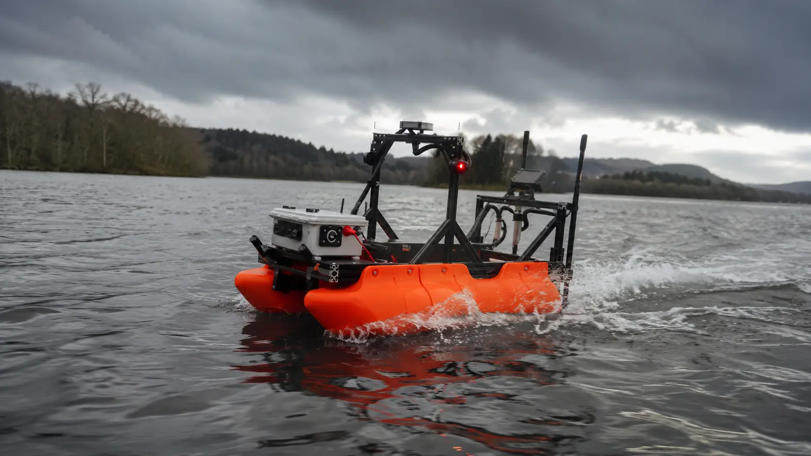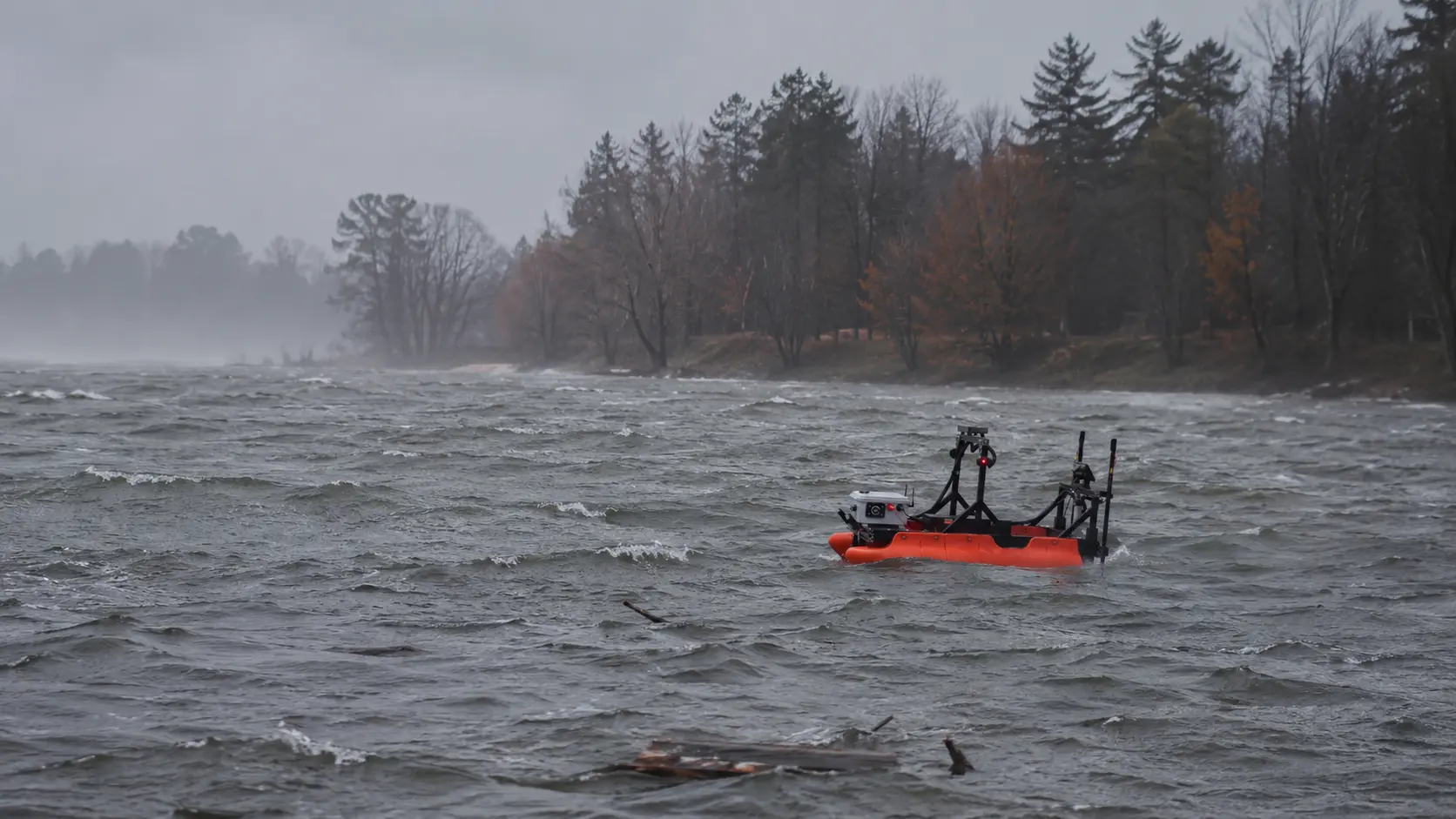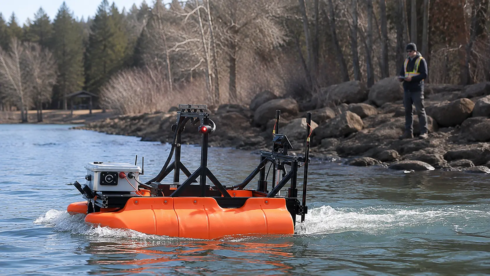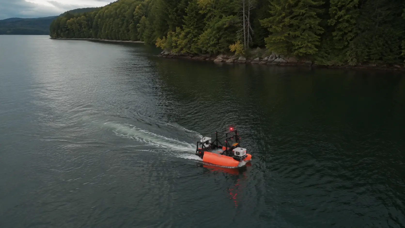
Sequoia Advanced Systems deploys Guardian 1.0 to support underwater search, submerged-target localization, pre-dive reconnaissance, and documented recovery planning across California lakes, reservoirs, rivers, canals, and managed waterways.
Autonomous search patterns, sonar mapping, precise target logging, and shore-based supervision help law enforcement, fire and rescue agencies, dive teams, and emergency managers search more systematically while reducing unnecessary responder exposure. Incident command, rescue, diving, evidence handling, and physical recovery remain in the hands of trained personnel.
Underwater search and recovery are among the most difficult, consequential, and time-sensitive work performed by public-safety teams. These missions may involve a missing person, submerged vehicle, weapon, evidence item, or hazard that must be located before responders can plan the next step.
Effective operations provide answers to families, support investigations, improve incident awareness, and reduce the uncertainty facing dive and recovery teams. They also place responders in environments where visibility, temperature, contamination, entanglement, current, and limited bottom time create substantial risk.
Public-safety diving, particularly in cold, contaminated, or zero-visibility water, is among the most hazardous activities responders undertake. Limited visibility, entanglement, current, and restricted bottom time make every dive a calculated risk, so reducing unnecessary time in the water is a genuine safety objective.
Recovering a missing person brings resolution to families, and recovering vehicles, weapons, and evidence supports investigations and legal proceedings. A thorough and well-documented search effort matters to the people and agencies who depend on it.
During floods and water emergencies, and around hazards such as dams and spillways, situational awareness is needed in exactly the places it is least safe to send personnel. The ability to assess accessible areas without putting responders in the water has clear value.
Better search information allows incident command to commit specialized personnel and equipment more deliberately, with a clearer target, location, and operating plan.
Underwater search rewards systematic coverage, precise target logging, repeatability, and the ability to collect information before personnel enter hazardous water. These are the areas where an autonomous surface vessel can strengthen the response.
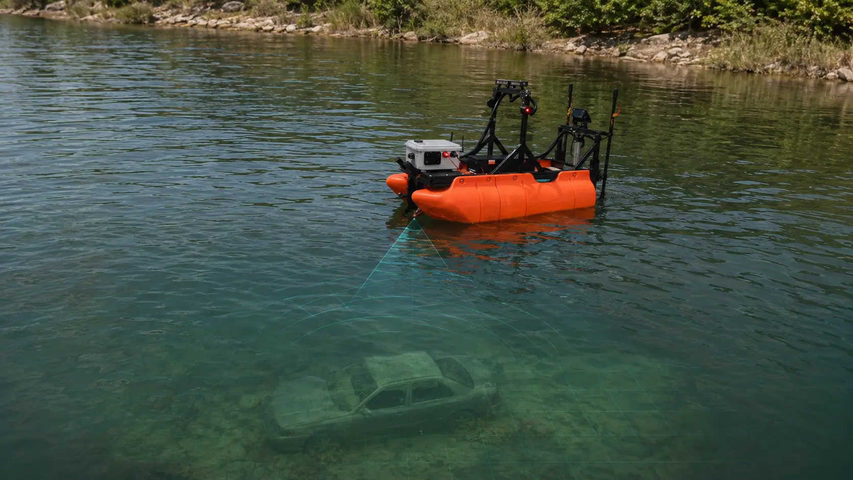
Guardian 1.0 can run planned surface-search patterns using mission-configured sonar and mapping payloads. Potential targets are identified and logged before divers are committed to a broad underwater search area.
GPS-defined routes maintain consistent search-line spacing and create a geolocated record of the area covered. This helps incident command evaluate progress, identify remaining gaps, and document the search effort.
Suspected targets can be assigned coordinates, documented, and revisited during confirmation, recovery planning, or follow-up operations.
Operators can supervise the mission from shore, reducing the need to place personnel aboard a search vessel during the initial reconnaissance phase.
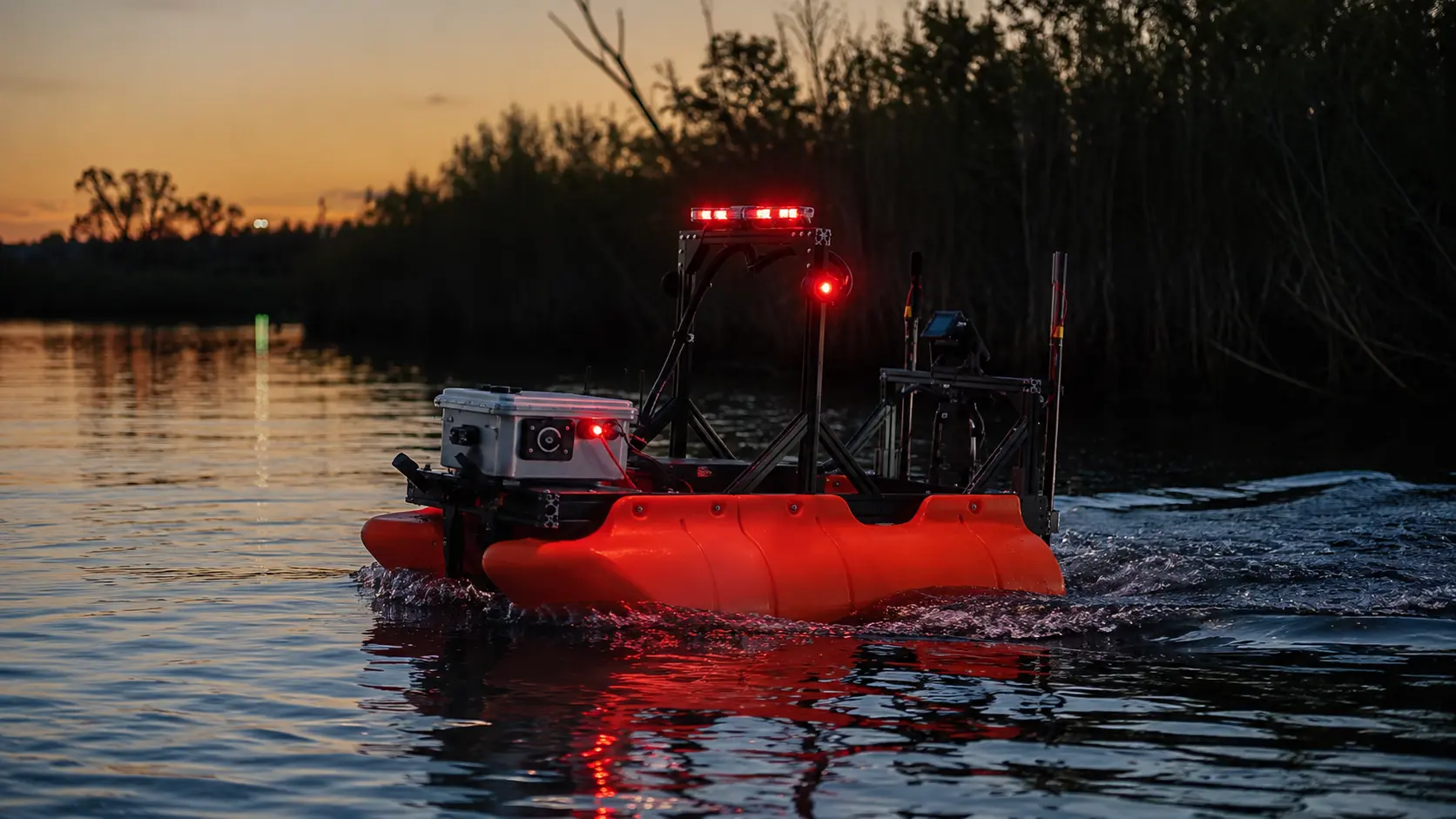
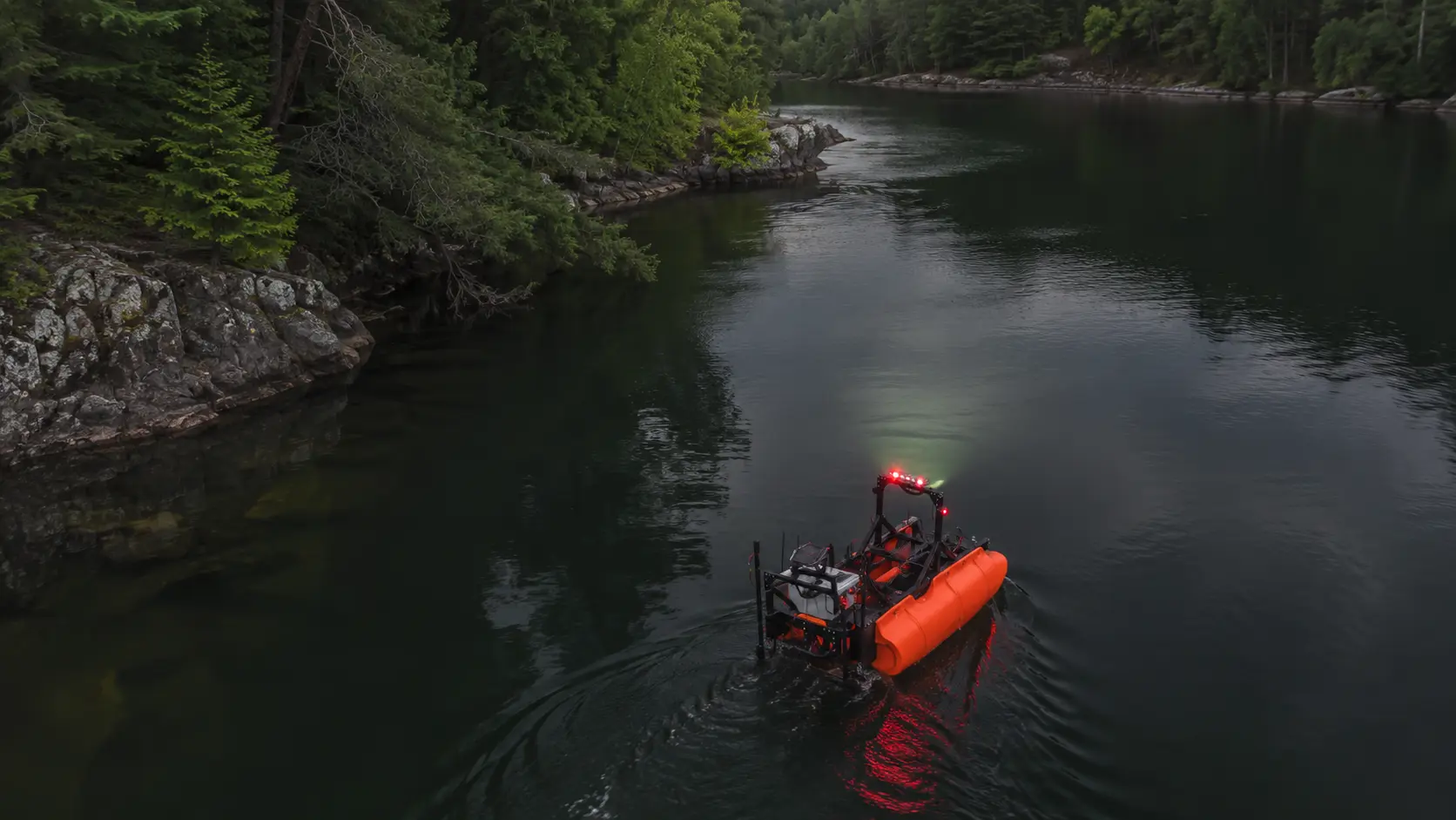
Cameras, lighting, and optional thermal imaging support surface awareness during nighttime and low-light missions. Sonar and underwater imaging remain the primary tools for submerged-target detection.
When configured for surface rescue support, Guardian 1.0 can provide flotation contact, lighting, audible communication, and remote assistance while trained rescuers mobilize or approach.
Guardian 1.0 does not replace incident command, public-safety divers, rescue swimmers, sonar specialists, or recovery personnel. It improves the information available to them, reduces unnecessary exposure, and adds consistency to the search record.
Guardian 1.0 is Riparian Systems’ mission-configurable search and recovery support vessel, deployed and supported in California by Sequoia Advanced Systems. The shore-launchable, low-draft platform supports autonomous GPS waypoint missions, manual control, and real-time operator supervision. Mission payloads can provide sonar-based underwater mapping, target localization, surface visual awareness, nighttime lighting, surface-person thermal detection, communication, flotation assistance, and precise return-to-location. Guardian 1.0 extends the reach of trained response teams without transferring operational judgment away from incident command.
Guardian 1.0 supports search, reconnaissance, target localization, and recovery planning. Incident command, rescue, diving, evidence handling, and physical recovery remain with trained personnel. Thermal imaging detects surface and above-surface heat signatures, not fully submerged persons; submerged-target detection relies on sonar and underwater imaging. Specifications per Riparian Systems; confirm current configuration for procurement.
Discuss a Search MissionGuardian 1.0 is designed to strengthen the resources public-safety teams already rely on. Its highest value often comes from improving the initial search, documenting coverage, narrowing the target area, and giving incident command better information before divers, ROVs, crewed vessels, or recovery personnel are committed.
Guardian 1.0 can search and mark suspected targets before divers enter the water. Divers can then focus limited time on confirmation and recovery rather than broad-area searching.
A crewed sonar boat may remain the preferred platform for large waterbodies, towed arrays, or missions requiring onboard sonar interpretation. Guardian 1.0 can supplement that work in shallow margins, confined areas, restricted zones, and locations without convenient ramp access.
Surface-based sonar and target logging can help identify where an ROV should be deployed, reducing unnecessary underwater transit and improving the efficiency of visual confirmation.
GPS-defined routes provide incident command with a clearer record of completed lines, remaining gaps, marked targets, and areas requiring a second pass.
Lighting, surface cameras, and optional thermal imaging can improve surface awareness while autonomous navigation maintains the planned search pattern.
Where conditions remain within verified operating limits, a shore-controlled vessel can inspect accessible margins, map obstacles, and collect situational information before personnel or larger equipment enter the area.
Mission tracks, target coordinates, imagery, sonar records, and operator notes can support after-action review, investigative documentation, future search planning, and coordination among responding agencies.
The result is not a choice between Guardian 1.0 and traditional public-safety resources. It is a coordinated operation in which each tool is used where it provides the greatest safety, access, awareness, and mission value. Sequoia Advanced Systems helps agencies integrate Guardian 1.0 with their existing personnel, response procedures, sonar equipment, dive teams, ROVs, and incident-command structure.
Search systematically for submerged vehicles, weapons, evidence, and missing persons before committing divers to broad-area underwater patterns. Guardian 1.0 logs targets and completed search routes, supports return-to-location, and strengthens the operational documentation surrounding the mission.
Improve surface awareness, conduct planned search patterns, and provide responder teams with target coordinates before divers or rescue personnel enter the water. Optional lighting, thermal imaging, communication, and flotation features support night and surface-rescue operations.
A deployable autonomous search platform can give regional teams a shared capability for planned grid coverage, target marking, pre-dive reconnaissance, and interagency documentation.
Support flood reconnaissance, hazard assessment, and resource coordination from shore where conditions remain within platform operating limits. Mission tracks and imagery can improve situational awareness for incident command.
Search for submerged hazards, vehicles, equipment, and reported objects in lakes, reservoirs, marinas, and recreational waterways. A shore-launchable platform can access sites without mobilizing a larger crewed vessel.
Add autonomous search coverage, target logging, and documented grid operations to existing sonar, diving, marine-service, and recovery capabilities without building a robotics program internally.
Search and recovery is a skilled discipline, and experienced sonar operators and dive teams are highly effective. A typical operation combines several elements:
Sonar identifies shapes, shadows, and anomalies that may represent a target. Visual inspection, ROV confirmation, diver confirmation, or recovery may still be required to determine what the target is.
Locating a target and physically recovering it are separate phases. The platform can improve search and localization, while trained personnel retain responsibility for confirmation, evidence procedures, rescue, and recovery.
Locate and log targets from the surface first, so divers enter to a known point rather than a blind area. The initial search is exactly the phase where autonomy can reduce risk most.
Keep responders out of the water until a physical task demands them. Every minute of bottom time is risk, and it should be spent on confirmation and recovery, not wide-area searching.
Plan search-line spacing, grid geometry, and priority zones before the mission begins, so coverage is consistent and gaps are visible to incident command.
GPS tracks, completed search lines, target coordinates, sonar records, imagery, and operator notes should be captured during the operation rather than reconstructed afterward. These records support incident review and investigative documentation but do not replace agency evidence-handling or chain-of-custody procedures.
Sonar and underwater imaging locate submerged targets; cameras, lighting, and thermal support surface awareness. The sensor package should follow the target and the operating conditions.
Autonomy supports the team; it does not command it. Search judgment, rescue, evidence handling, and recovery remain the work of trained personnel, with the platform serving the plan.
Guardian 1.0 runs planned surface-search patterns with mission-configured sonar and mapping payloads, identifying and logging potential submerged targets before divers are committed to a broad underwater search. It searches, documents, and localizes; it does not confirm or recover.
No. Guardian 1.0 supports search, reconnaissance, target localization, and recovery planning. Incident command, diving, rescue, evidence handling, and physical recovery remain with trained personnel.
Depending on the mission, Guardian 1.0 can carry sonar and underwater mapping for submerged-target detection, real-time cameras, detection lighting, optional thermal imaging for surface detection, a loudspeaker, flotation handles, and an optional winch.
Sonar and underwater mapping can identify shapes, shadows, and anomalies that may represent a submerged vehicle, weapon, evidence item, or person. Visual, ROV, or diver confirmation is still required to determine what a target is.
The platform records GPS search tracks, completed lines, and target coordinates, producing a geolocated record of the area covered. This supports incident review and investigative documentation and helps incident command evaluate progress and remaining gaps.
Yes. Target coordinates can be logged and revisited with precision for confirmation, recovery planning, or follow-up operations.
It searches and marks targets ahead of divers, helps identify where an ROV should be deployed, and supplements crewed sonar boats in shallow margins, confined areas, and sites without convenient ramp access.
Yes. Detection lighting, surface cameras, and optional thermal imaging support surface awareness at night, while autonomous navigation maintains the planned search pattern. Sonar remains the primary tool for submerged detection.
A thermal camera detects heat signatures at or above the surface; it does not see a fully submerged person through the water. It supports surface and shoreline scanning, low-light and nighttime operations, and confirmation of visible persons. Submerged-target detection relies on sonar and underwater imaging.
When configured for surface rescue support, Guardian 1.0 can provide flotation contact, lighting, and audible communication while trained rescuers mobilize or approach. It is an assist, not a replacement for rescue swimmers or a crewed rescue boat.
Guardian 1.0 is suited to lakes, reservoirs, rivers, canals, and accessible flood margins within its verified operating limits. Post-flood reconnaissance and hazard assessment from shore are appropriate where a site-specific risk assessment supports them. It is not a swift-water rescue platform.
Because it is shore-launchable and does not require a ramp or a crewed vessel, an autonomous platform can begin a systematic search from accessible shoreline, which can help focus a response while other resources mobilize. For active incidents, operational control must be established with the responsible agency first.
GPS tracks, target coordinates, imagery, sonar records, and operator notes support evidence-location records and the broader investigative documentation used alongside agency chain-of-custody procedures. The records do not independently establish chain of custody.
It is the work of locating and supporting the recovery of missing persons, submerged vehicles, weapons, evidence, and hazards from lakes, rivers, reservoirs, and other waterbodies. Search and localization are distinct from confirmation and physical recovery, which remain with trained personnel.
Yes. Guardian 1.0 is intended to strengthen existing public-safety capability. Sequoia Advanced Systems can support mission planning, platform and payload configuration, operator training, demonstrations, field deployment, and long-term readiness while the agency’s incident-command structure and qualified personnel retain operational responsibility.
Useful information includes the waterbody, approximate search area, target type, known depth, current and visibility conditions, shoreline access, submerged hazards, agency resources, required sensors, operating timeline, and desired mission record. For active incidents, coordination, authority, and operational control must be established with the responsible agency before deployment.
Yes. Organizations may purchase a mission-configured platform, partner with SEQAV for technology and support, or engage the SEQAV team for a scoped deployment. The appropriate model depends on mission frequency, available personnel, training capacity, procurement requirements, and who will operate the system.
Tell us about the waterbody, target, search area, operating conditions, available response resources, and mission requirements. Sequoia Advanced Systems will help determine whether a demonstration, planned deployment, technology partnership, or platform purchase is the appropriate next step.
Discuss a Search Mission